|
John Tyman's Cultures in Context Series NEPAL ENVIRONMENT |
|
|
|
|
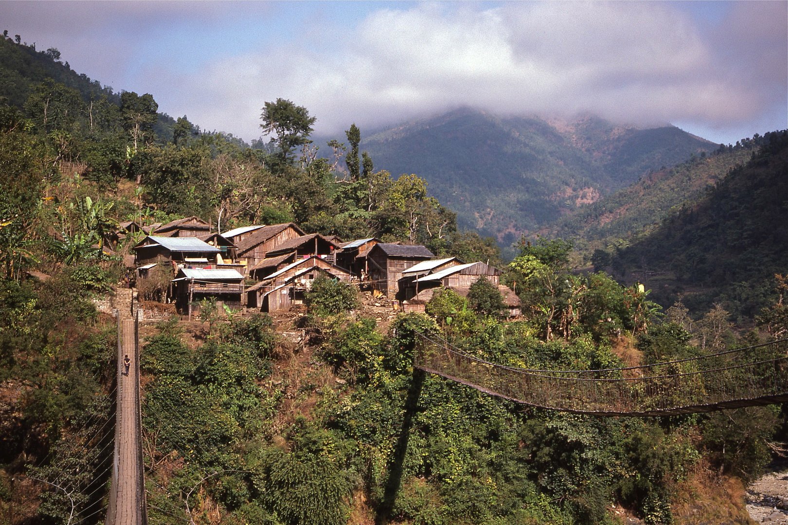
|
John Tyman's Cultures in Context Series NEPAL ENVIRONMENT |
|
|
|
|
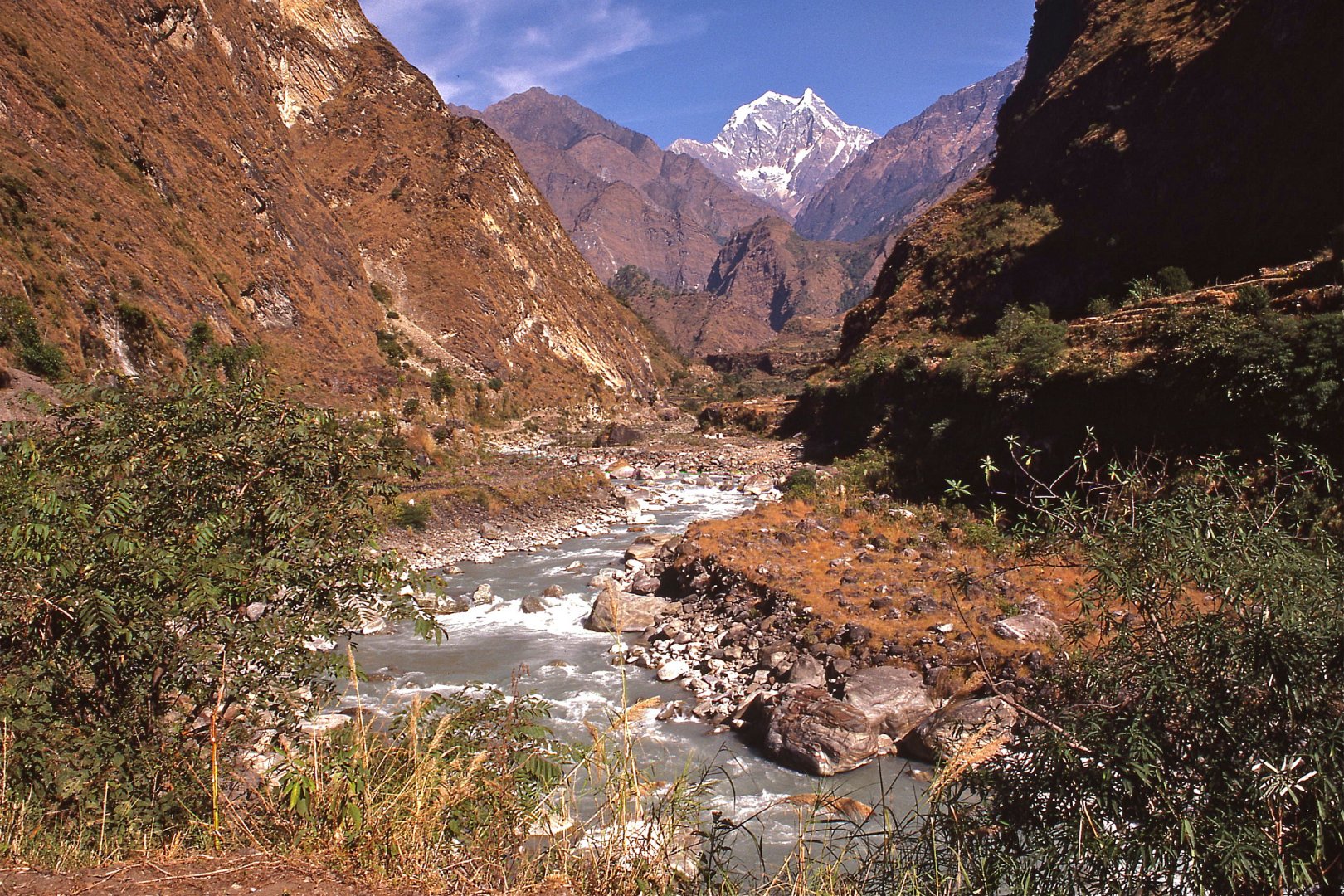 |
| 001. Nepal is a small land-locked nation in the middle of Asia. It straddles the Himalayas -- the highest mountain chain in the world -- and is a zone of transition, both physically and culturally -- between the high plateaus of Tibet and the flood plains of Northern India, and between Indian Hinduism and Tibetan Buddhism. (Valley of Kaligandaki River north of Tatopani) |
 |
| 002. It is also positioned at the point where the two countries with the largest populations in the world come together -- one a democracy (India), the other (China) a communist dictatorship. This unit will focus in greatest detail on daily life at Ramja Thanti in the hill country and Bharatpur on the plains, and on the life of a friend and his family who moved from one to the other. |
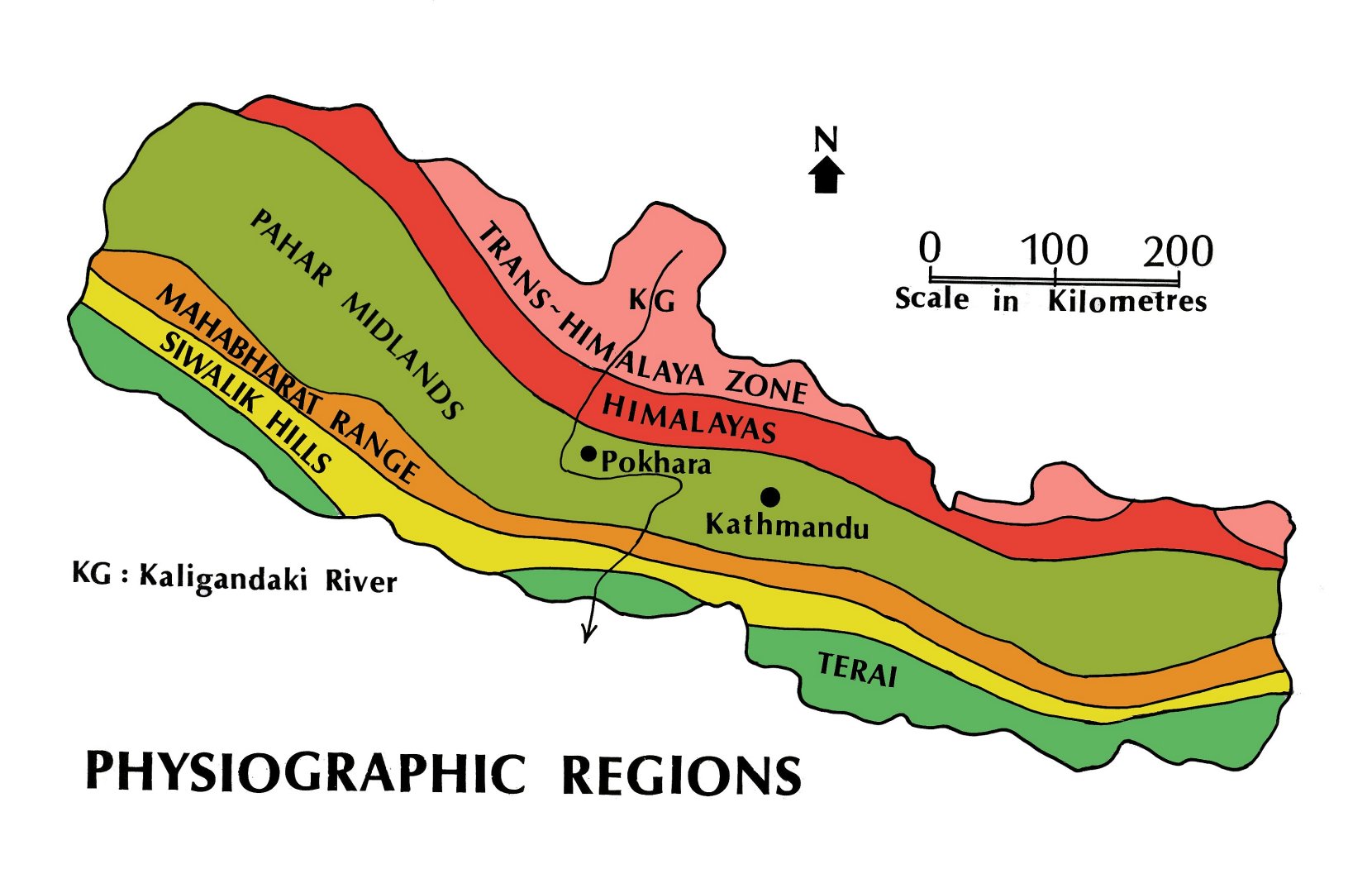 |
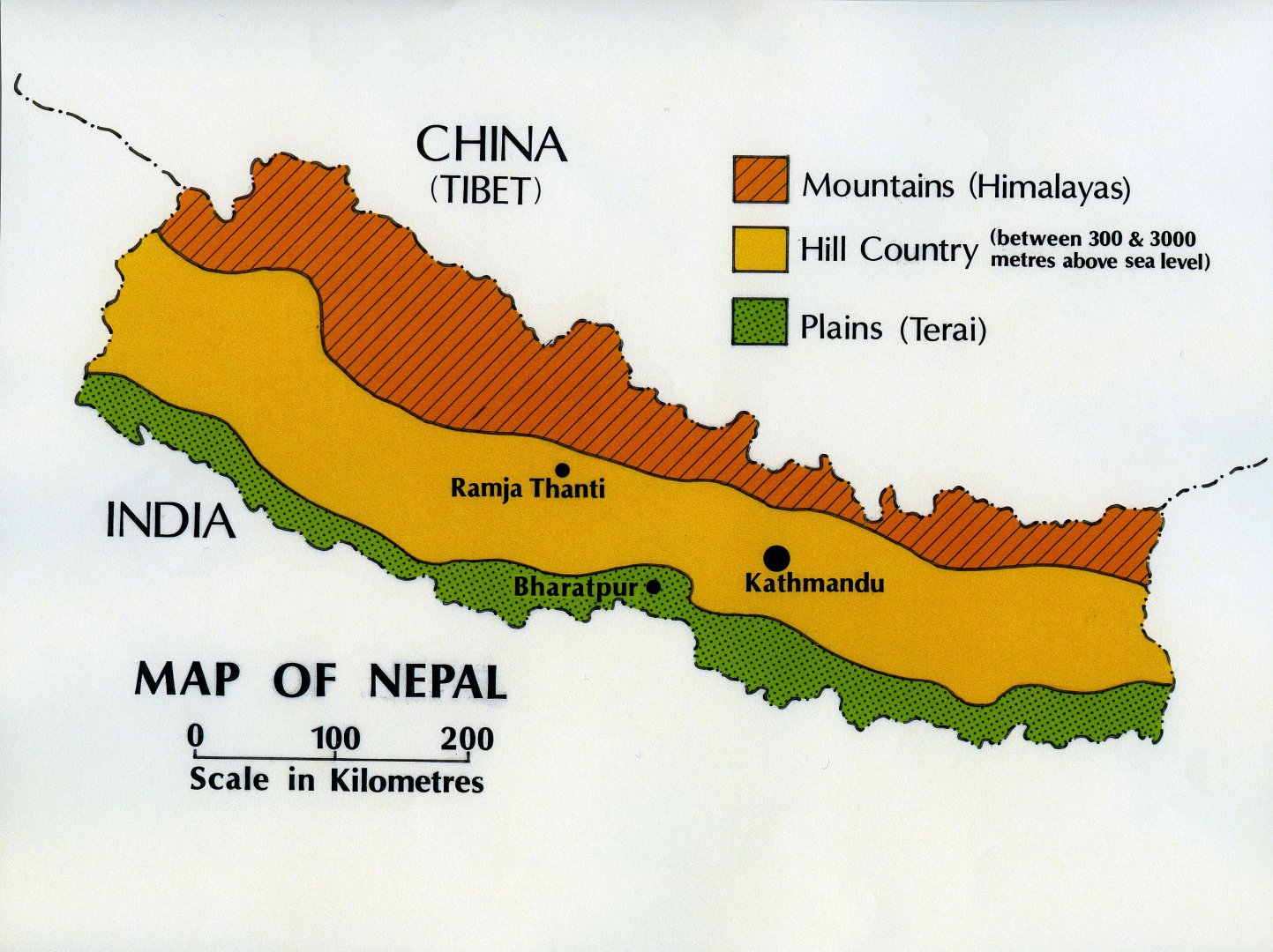
| 003. Nepal is commonly divided into three landform types -- mountains, hills and plains -- and six physiographic regions, all aligned from west to east in accordance with the orientation of the Himalayas. |
 |
| 004. The narrow alluvial lowland in the south, known as the Terai, is part of the northern rim of the Indo-Gangetic Plain and it lies at an elevation of only 200 metres ASL (above sea level). It is nowhere more than 45 kilometres in width. |
 |
| 005. The Terai is is bounded on the north by the Siwalik Hills which, rising to over 1000 metres, are the southernmost extension of the Himalayan mountain system. On their north the Siwaliks, in turn, merge with the Mahabharat Range which, rising to heights of 3000 metres, served in the past as a barrier to invaders from the south. |
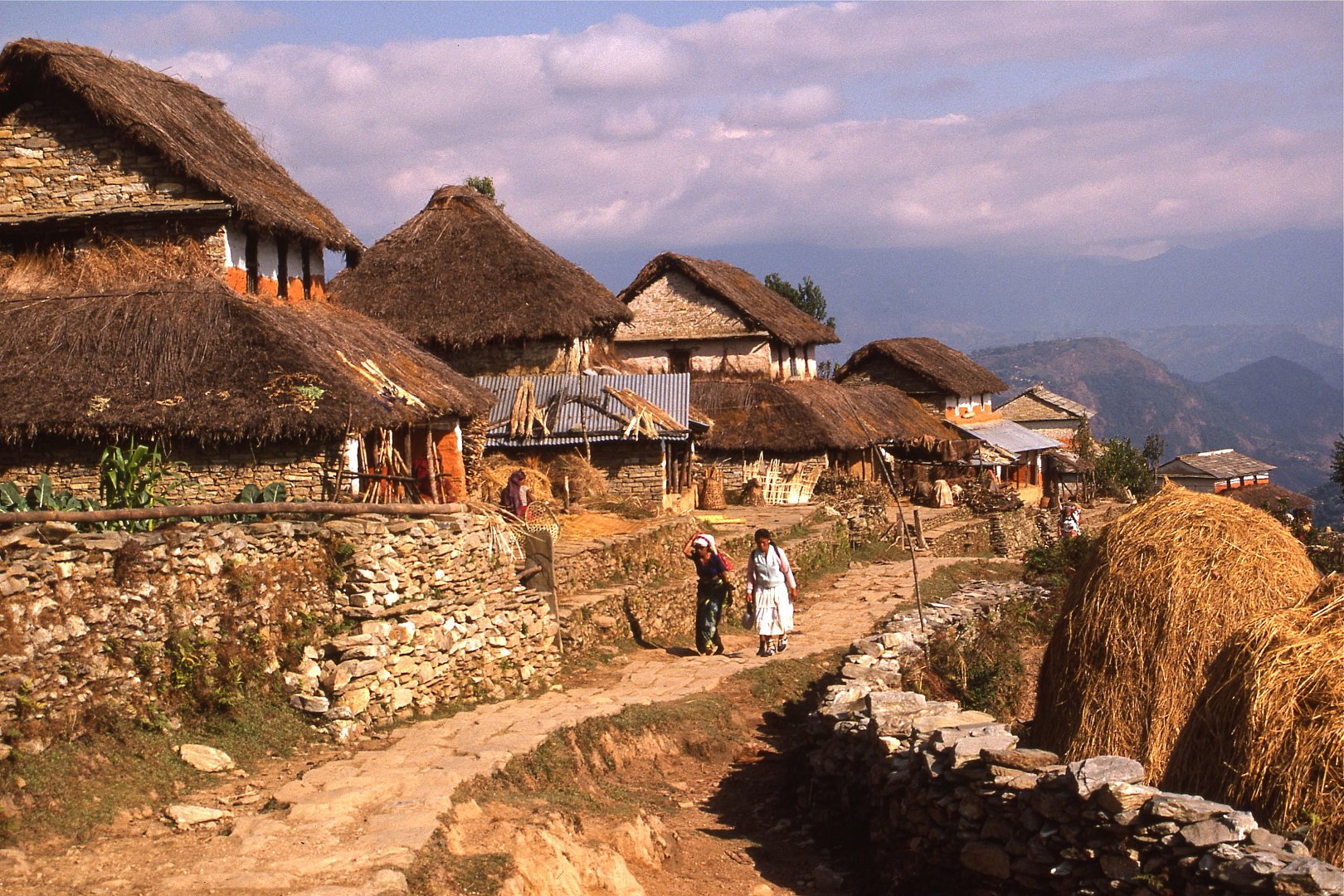 |
| 006. North of the Mahabharat Range lies the hill country (the Pahar zone or Midlands). It is between 60 and 100 kilometres in width and ranges in altitude from 600 to 2000 metres ASL. |
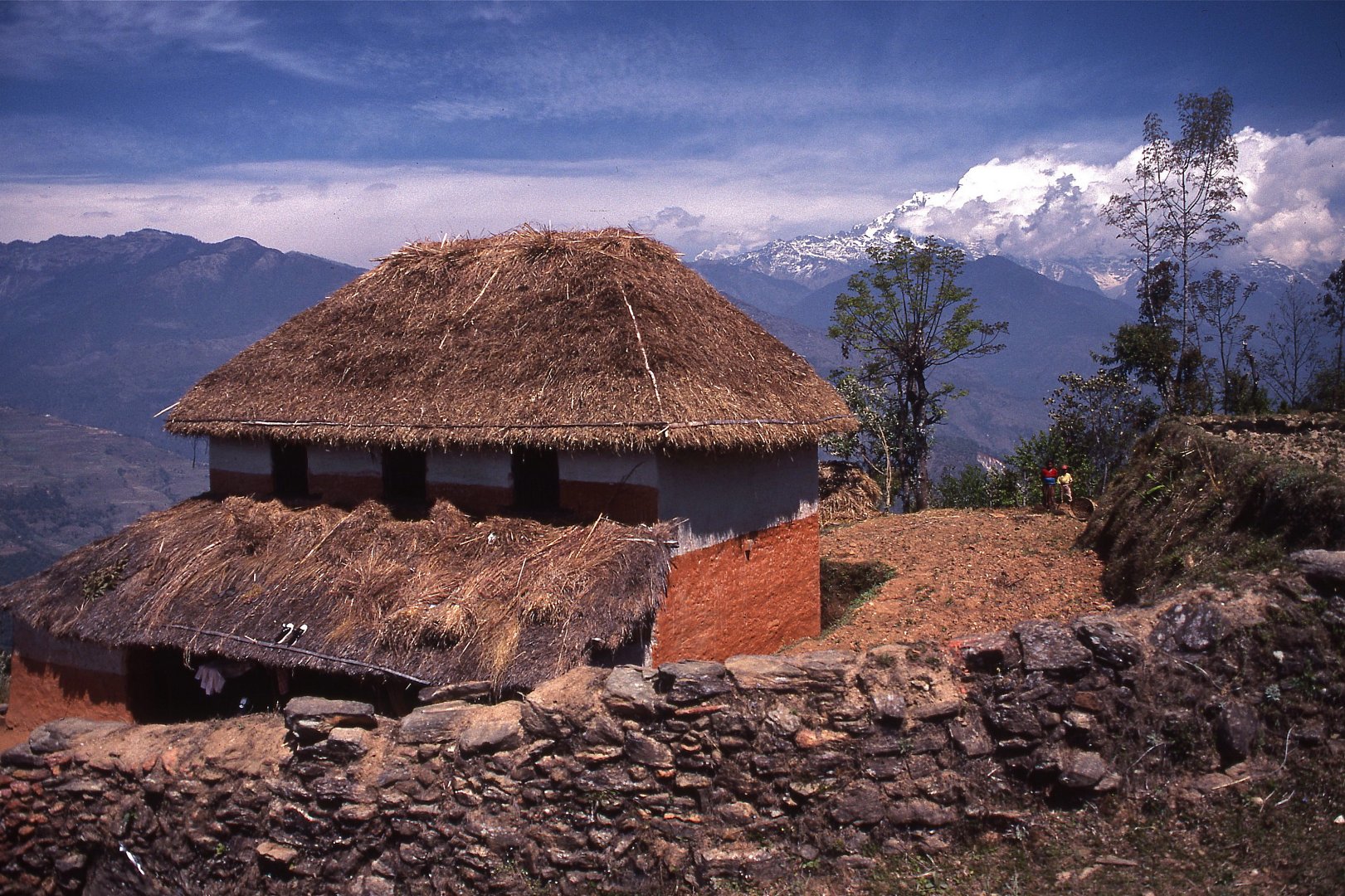 |
| 007. Bounded my mountain ranges on the north and south, it is the heartland of Nepal and half of the nations population lives here. [Video Extract 01] |
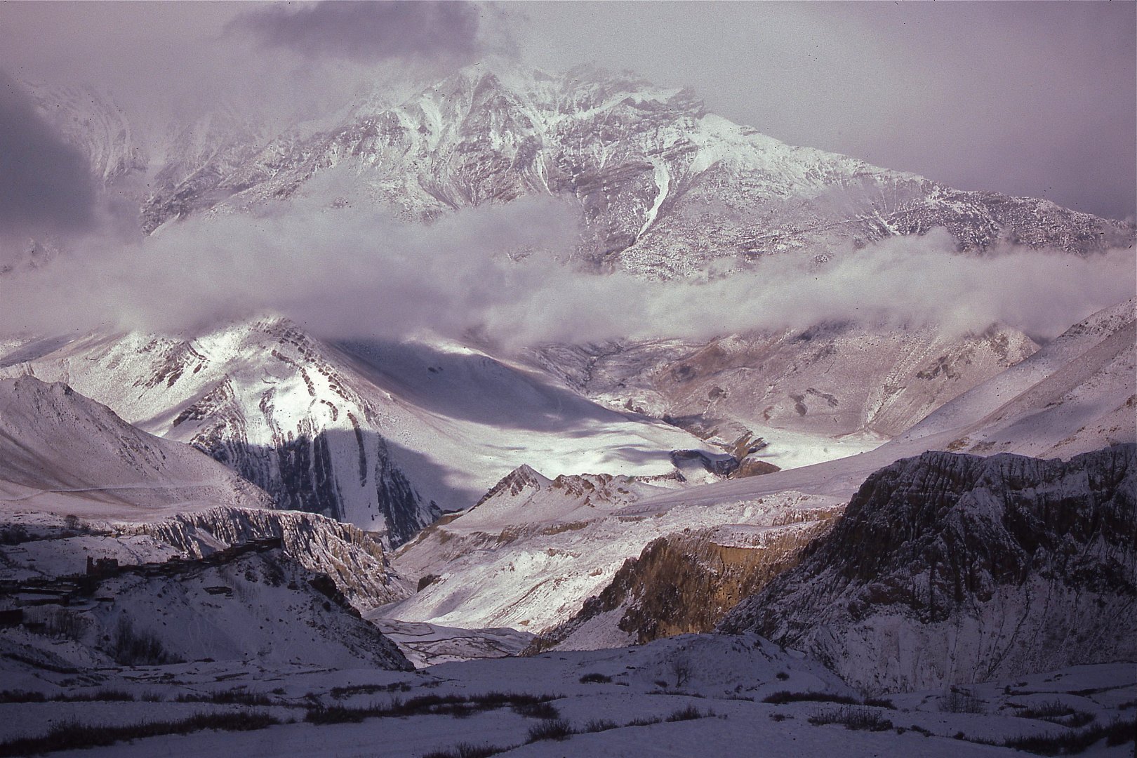 |
| 008. The Himalayas, which tower over the Midlands, include 10 of the 14 peaks in the world which are 8000 metres or more in height -- and eight of them lie within Nepal or on its border with China. |
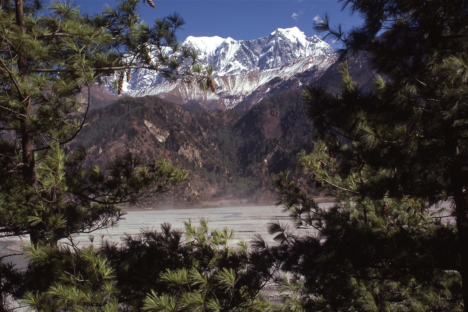 |
| 009. Flowing from north to south across this range, the Kaligandaki River flows in a great gorge almost 7000 metres in depth. As such it has long functioned as a corridor for traders moving north to south. |
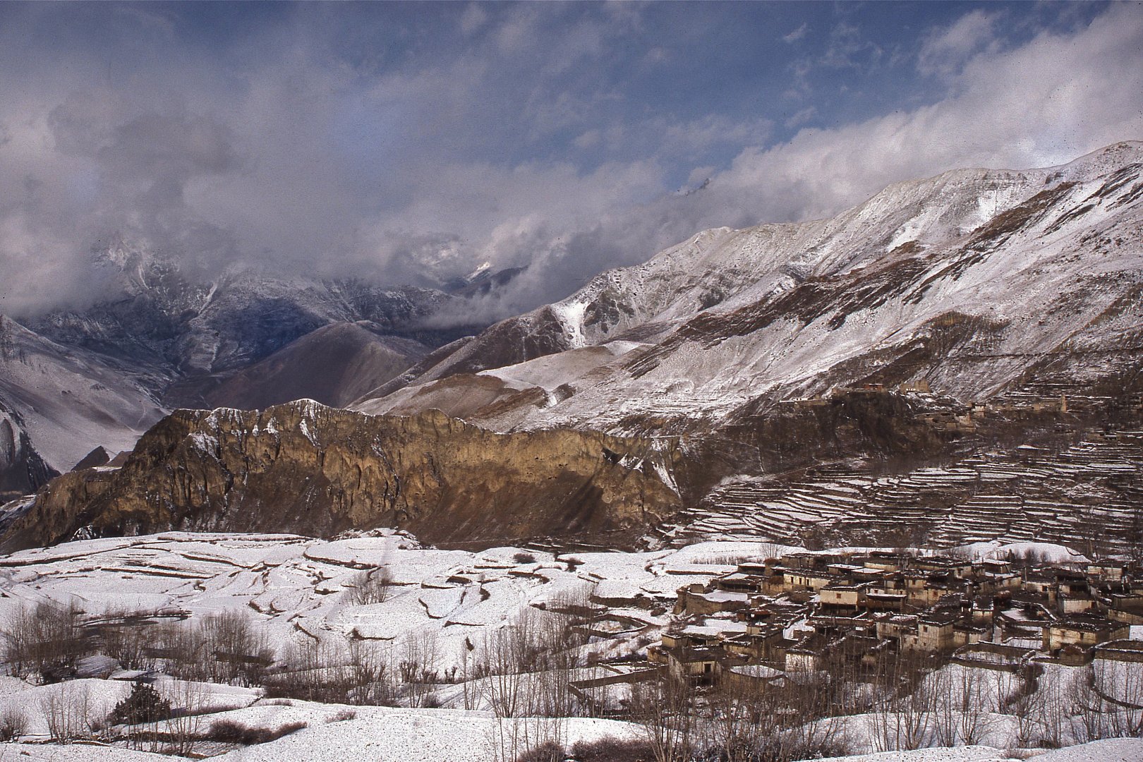 |
| 010. The Trans-Himalaya zone to the north is like an extension of the Tibetan Plateau, high and dry with rocky crags, steep cliffs, and scree-covered slopes, plus high mountain valleys at elevations of between 2400 and 5000 metres. |
![]()
Text, photos and recordings
by John Tyman
Intended for Educational Use
Only.
Contact Dr. John Tyman at johntyman2@gmail.com
for more information regarding
licensing.
![]()
www.hillmanweb.com
Photo processing, Web page layout,
formatting and hosting by
William
Hillman ~ Brandon, Manitoba ~ Canada
